 vesseltracker.com
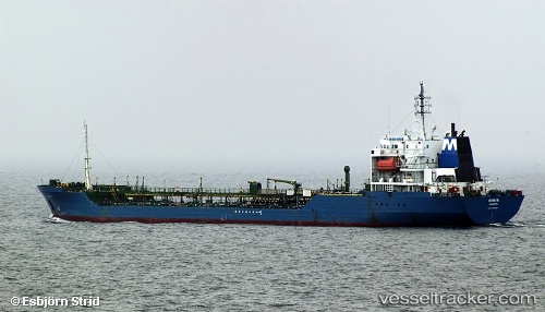
Vessel CETUS I IMO: 8705333, MMSI: 352978242 Oil Products Tanker
Live AIS position:
UTC. 107 nm W of Moratuwa),
updated 2025-12-18 18:22:27 UTC.
Find the position of the vessel CETUS I on the map. The latter are known coordinates and path.
marine traffic ship tracker show on live map
The current position of vessel CETUS I is 6.33077 lat / 78.13111 lng. Updated: 2025-12-18 18:22:27 UTCCurrently sailing under the flag of Panama
CETUS I built in 1988 year
Deadweight:
14402 tDetails:
Last coordinates of the vessel:
2025-12-18 18:22:27 UTC, 6.33077, 78.13111, course: 98, speed: 7.5